


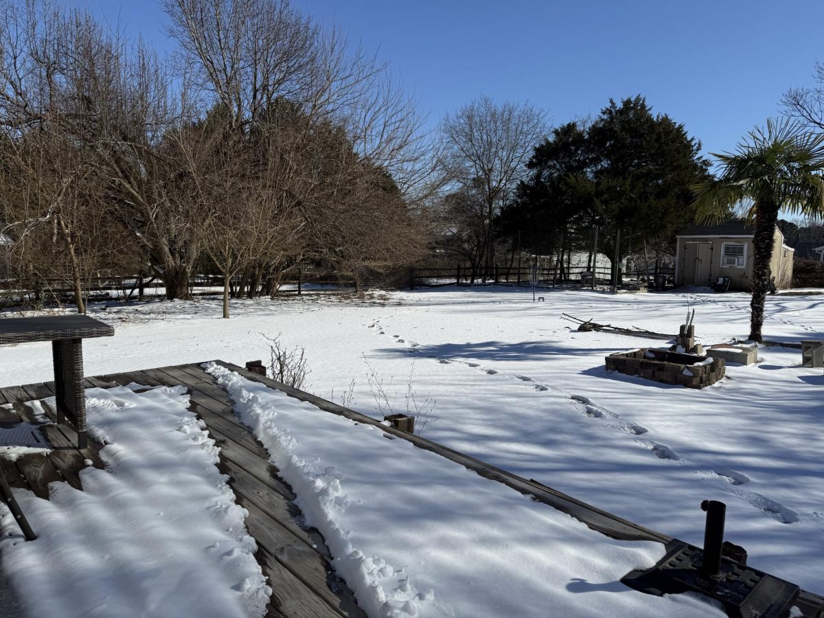
Ice cold temperatures to start off the year makes for a trembling beginning. As for the data from the North Carolina State Climate Office, they report that a “cold frontal passage on Jan. 15 ushered in our first wave of cold weather in 2026, including overnight lows in the 10s and 20s the following morning.” Furthermore, in comparison to the last previous years of weather data between Raleigh and Oxford areas, this was the, “coldest day at both sites since February 2015.”
This conclusion is also drawn from NASA’s observations who said, “Snow totals exceeded a foot in some of the state’s western, mountainous regions, following several years without significant snowfall events, though some locations such as Asheville saw smaller amounts.” The weather has dipped to such a low degree that we are seeing an “unusual” amount of snow at a “widespread coverage” over North Carolina primarily throughout January but lasting through the start of February as well.
As for the students of FVHS, there are those who concur with this as well. One in particular, sophomore Ezra Wyatt, said he feels that the weather is, “super cold,” and that we need, “more warmer days to combat this major freeze temp.” He later stated that he was glad that it had been getting warmer since he wasn’t used to missing so many days from snow.
Because of its abnormal nature, it calls to attention the reason North Carolina has been getting all of this action. According to NASA’s satellite sources, it seems to be that the cold air, which has lingered in North Carolina’s lower pressure, froze into the passing storm headed for the East Coast.
However, now that the storm has swept in, it has brought upon this change of pace in weather which resulted in this frost-filled winter. Now as a result, it has become one of the most extensive North Carolina weather events in the last ten years.